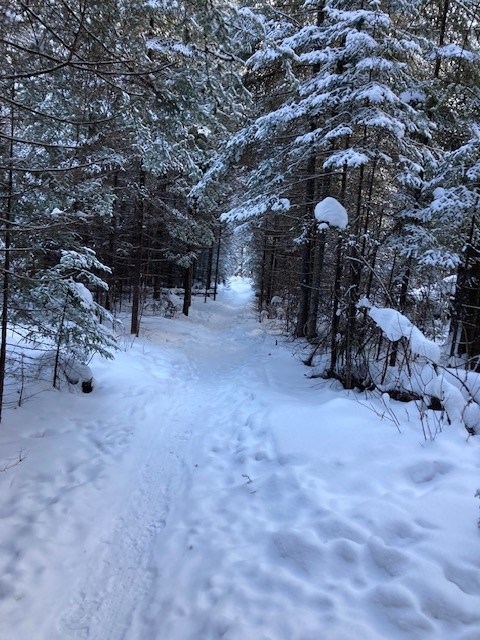
Today's image is from Frank Mauro
Got a Story idea? Send it here. Got a Good Morning Photo to Share? Send it here.
Fort Frances
Periods of snow ending late in the afternoon then mainly cloudy with 30 percent chance of flurries. Risk of freezing drizzle in the afternoon. Amount 2 cm. Wind up to 15 km/h. High zero. Wind chill minus 13 in the morning.
Atikokan
Periods of snow ending late in the afternoon then cloudy with 30 percent chance of flurries. Risk of freezing drizzle in the afternoon. Amount 2 cm. Wind up to 15 km/h. High minus 1. Wind chill minus 15 in the morning and minus 5 in the afternoon.
Ignace
Periods of snow ending late in the afternoon then cloudy with 30 percent chance of flurries. Risk of freezing drizzle in the afternoon. Amount 2 cm. Wind up to 15 km/h. High minus 2. Wind chill minus 18 in the morning and minus 5 in the afternoon.
Dryden
Periods of snow ending late in the afternoon then cloudy with 30 percent chance of flurries. Risk of freezing drizzle in the afternoon. Amount 2 cm. Wind up to 15 km/h. High minus 2. Wind chill minus 18 in the morning and minus 5 in the afternoon.
Kenora (Kenora)
Periods of snow ending early in the afternoon then cloudy with 30 percent chance of flurries. Risk of freezing drizzle late in the morning and in the afternoon. Amount 2 cm. Wind up to 15 km/h. High minus 2. Wind chill minus 16 in the morning and minus 4 in the afternoon.
Red Lake
Periods of snow ending early in the afternoon then cloudy with 30 percent chance of flurries. Risk of freezing drizzle late in the morning and in the afternoon. Amount 2 cm. Wind up to 15 km/h. High minus 3. Wind chill minus 18 in the morning and minus 5 in the afternoon.
Sioux Lookout
Periods of snow ending in the morning then cloudy with 30 percent chance of flurries. Amount 2 cm. Wind up to 15 km/h. High minus 3. Wind chill minus 19 in the morning and minus 5 in the afternoon.
