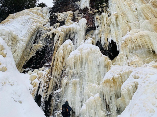
Today's image is from Pauline Hainey
Got a Story idea? Send it here. Got a Good Morning Photo to Share? Send it here.
Fort Frances
Periods of rain mixed with snow changing to snow in the morning and ending early in the afternoon then cloudy with 40 percent chance of flurries. Snowfall amount 2 to 4 cm. Wind north 20 km/h becoming light early in the afternoon. Temperature falling to minus 5 in the afternoon. Wind chill near minus 12. UV index 1 or low.
Atikokan
Snow ending early in the afternoon then cloudy with 40 percent chance of flurries. Amount 5 to 10 cm. Wind up to 15 km/h. High minus 2 with temperature falling to minus 6 in the afternoon. Wind chill minus 6 in the morning and minus 12 in the afternoon. UV index 1 or low.
Ignace
Snow ending in the morning then cloudy with 40 percent chance of flurries. Amount 2 cm. Wind northeast 30 km/h becoming light late in the afternoon. Temperature steady near minus 8. Wind chill near minus 17. UV index 1 or low.
Dryden
Snow ending in the morning then cloudy with 40 percent chance of flurries. Amount 2 cm. Wind northeast 30 km/h becoming light late in the afternoon. Temperature steady near minus 8. Wind chill near minus 17. UV index 1 or low.
Kenora (Kenora)
Snow ending in the morning then mainly cloudy with 40 percent chance of flurries. Amount 2 cm. Wind north 20 km/h becoming light late in the afternoon. High minus 6. Wind chill near minus 14. UV index 1 or low.
Red Lake
Snow ending in the morning then a mix of sun and cloud with 40 percent chance of flurries. Amount 2 cm. Wind up to 15 km/h. High minus 8. Wind chill minus 15 in the morning and minus 21 in the afternoon. UV index 1 or low.
Sioux Lookout
Snow ending in the morning then mainly cloudy with 40 percent chance of flurries. Amount 2 cm. Wind up to 15 km/h. High minus 8. Wind chill minus 19 in the morning and minus 14 in the afternoon. UV index 1 or low.
