Today's image is from Penny Swire
Got a Story idea? Send it here. Got a Good Morning Photo to Share? Send it here.
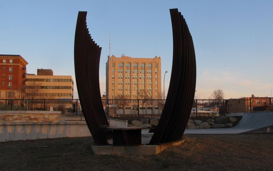
Fort Frances
Periods of rain changing to snow mixed with ice pellets and freezing rain in the morning. Local blowing snow late in the morning and in the afternoon. Snow and ice pellet amount 10 to 15 cm. Wind northwest 20 km/h gusting to 60 increasing to 40 gusting to 60 in the afternoon. Temperature falling to minus 5 in the afternoon. Wind chill minus 14 in the afternoon. UV index 1 or low.
Atikokan
Periods of rain. Risk of a thunderstorm early in the morning. Wind becoming northwest 30 km/h gusting to 50 in the afternoon. High 9. UV index 1 or low.
Ignace
Rain changing to snow mixed with ice pellets late in the afternoon. Risk of a thunderstorm early in the morning. Risk of freezing rain late in the afternoon. Rainfall amount 10 to 20 mm. Wind becoming northwest 40 km/h gusting to 60 in the afternoon. Temperature falling to zero in the afternoon. UV index 1 or low.
Dryden
Rain changing to snow mixed with ice pellets and freezing rain late in the morning. Risk of a thunderstorm early in the morning. Local blowing snow in the afternoon. Snow and ice pellet amount 10 to 15 cm. Wind becoming northwest 30 km/h gusting to 60 in the morning. Temperature falling to minus 5 in the afternoon. Wind chill minus 14 in the afternoon. UV index 1 or low.
Kenora (Kenora)
Periods of rain changing to snow mixed with ice pellets and freezing rain in the morning. Local blowing snow late in the morning and in the afternoon. Snow and ice pellet amount 10 to 15 cm. Wind northwest 40 km/h gusting to 60. Temperature falling to minus 7 in the afternoon. Wind chill minus 17 in the afternoon. UV index 1 or low.
Red Lake
Periods of rain changing to snow mixed with ice pellets and freezing rain in the morning. Local blowing snow late in the morning and in the afternoon. Snow and ice pellet amount 10 to 15 cm. Wind north 40 km/h gusting to 60. Temperature falling to minus 9 in the afternoon. Wind chill minus 19 in the afternoon. UV index 1 or low.
Sioux Lookout
Rain changing to snow mixed with ice pellets in the afternoon. Risk of a thunderstorm early in the morning. Risk of freezing rain in the afternoon. Snow and ice pellet amount 5 cm. Wind north 20 km/h becoming light late in the morning. Wind becoming northwest 40 gusting to 60 in the afternoon. Temperature falling to minus 2 in the afternoon. Wind chill minus 12 in the afternoon. UV index 1 or low.
