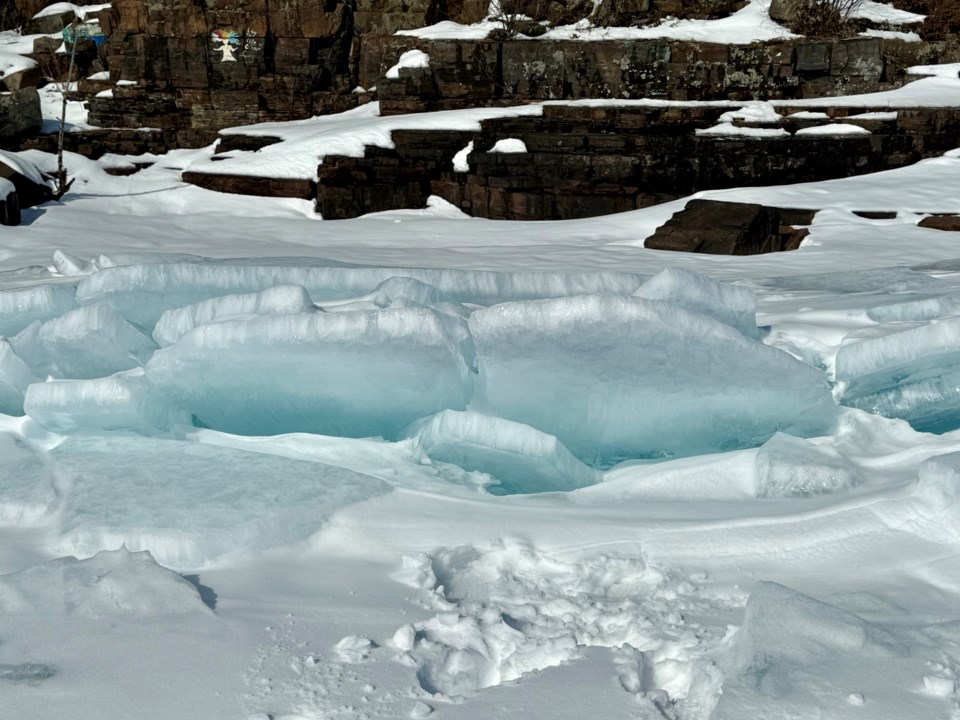
Today's image is from Elizabeth McFarlane
Got a Story idea? Send it here. Got a Good Morning Photo to Share? Send it here.
Fort Frances
Snow or ice pellets with risk of freezing rain. Snow and ice pellet amount 5 to 10 cm. Wind east 20 km/h gusting to 40. High zero. Wind chill minus 8 in the morning. UV index 1 or low.
Atikokan
Snow or ice pellets. Risk of freezing rain in the afternoon. Snow and ice pellet amount 5 to 10 cm. Wind east 20 km/h gusting to 40. High minus 1. Wind chill near minus 10. UV index 1 or low.
Ignace
Snow at times heavy. Amount 10 to 15 cm. Wind becoming east 20 km/h gusting to 40 in the morning. High minus 3. Wind chill near minus 12. UV index 1 or low.
Dryden
Snow at times heavy. Amount 10 to 15 cm. Wind northeast 20 km/h gusting to 40. High minus 4. Wind chill near minus 13. UV index 1 or low.
Kenora (Kenora)
Snow at times heavy. Amount 10 to 15 cm. Wind northeast 20 km/h gusting to 40. High minus 1. Wind chill minus 12 in the morning and minus 7 in the afternoon. UV index 1 or low.
Red Lake
Snow. Local amount 5 cm. Wind east 20 km/h gusting to 40. High minus 3. Wind chill minus 17 in the morning and minus 9 in the afternoon. UV index 1 or low.
Sioux Lookout
Snow. Local amount 5 cm. Wind east 20 km/h gusting to 40. High minus 3. Wind chill minus 14 in the morning and minus 9 in the afternoon. UV index 1 or low.
