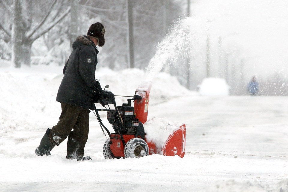
KENORA — A spring storm will likely move east across the southern end of Northwestern Ontario with significant snowfall from Friday to early Saturday.
Environment Canada expects the snow to come alongside a low-pressure system, which could bring a total of 10 to 20 cm, as well as an excess of 20 cm over some areas.
The storm is projected to affect areas as far as Kenora, Dryden and Atikokan — missing Sioux Lookout and areas up north.
While in the region, this heavy snow can cause reduced visibility. It may also result in difficult travel conditions and possible road closures.
However, with a risk of freezing rain and ice pellets for regions near the international border, there is still the chance the snowfall can mix in and be reduced for the region.
Environment Canada said there remains some uncertainty about where the heaviest snow will fall.
It encourages residents to continue to monitor alerts and forecasts as warnings will likely be issued as the storm draws nearer.
