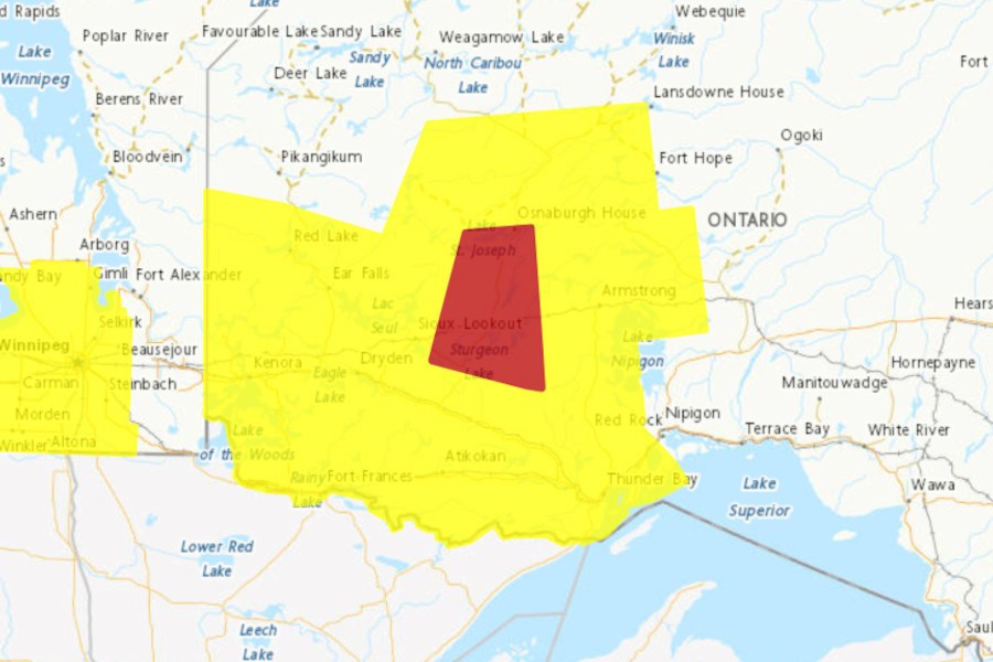
NORTHWESTERN ONTARIO - A Tornado Warning issued in the region has been reduced to a Tornado Watch.
Environment Canada said that conditions are still favourable, and will be throughout the evening, for the development of severe thunderstorms which may produce tornadoes.
Residents are advised to be on the lookout for hazards such as possible tornadoes, wind gusts up to 100 km/h, and nickel to ping pong ball size hail.
"Thunderstorms will track eastward toward Lake Superior early this evening. In addition to strong wind gusts and large hail, these storms will pose a tornado threat," said Environment Canada. "A strong tornado cannot be ruled out. The risk of severe thunderstorms will diminish through the evening."
In the event of a tornado, or if a tornado warning is issued for your area, it is recommended you take the following actions:
- Go indoors to a room on the lowest floor, away from outside walls and windows, such as a basement, bathroom, stairwell or interior closet.
- Leave mobile homes, vehicles, tents, trailers and other temporary or free-standing shelter, and move to a strong building if you can.
- As a last resort, lie in a low spot and protect your head from flying debris.
Residents are advised to take shelter immediately if you hear a roaring sound or see a funnel cloud, swirling debris near the ground, flying debris, or any threatening weather approaching.
Lightning kills and injures Canadians every year and Emergency Management Ontario also recommends that you take cover immediately if threatening weather approaches, this includes lightning, hail, and severe and damaging winds, as well as tornados.
Tornado warnings are issued when imminent or occurring thunderstorms are likely to produce or are producing tornadoes.
Please continue to monitor alerts and forecasts issued by Environment Canada. To report severe weather, send an email to [email protected] or tweet reports using #ONStorm. For more information: https://www.ontario.ca/page/be-prepared-emergency.
